
Tent Ridge Horseshoe
We did this trail on July 31, 2022 in counter clock. If you do it in summer, bring lots of water!
It starts at the dusty Mt. Shark Road where you park the car, goes along Monica Brook creek
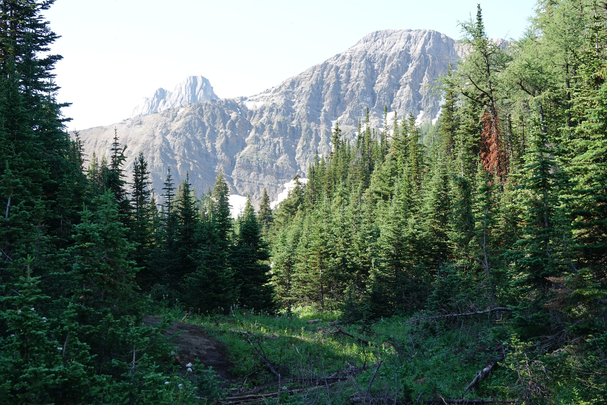
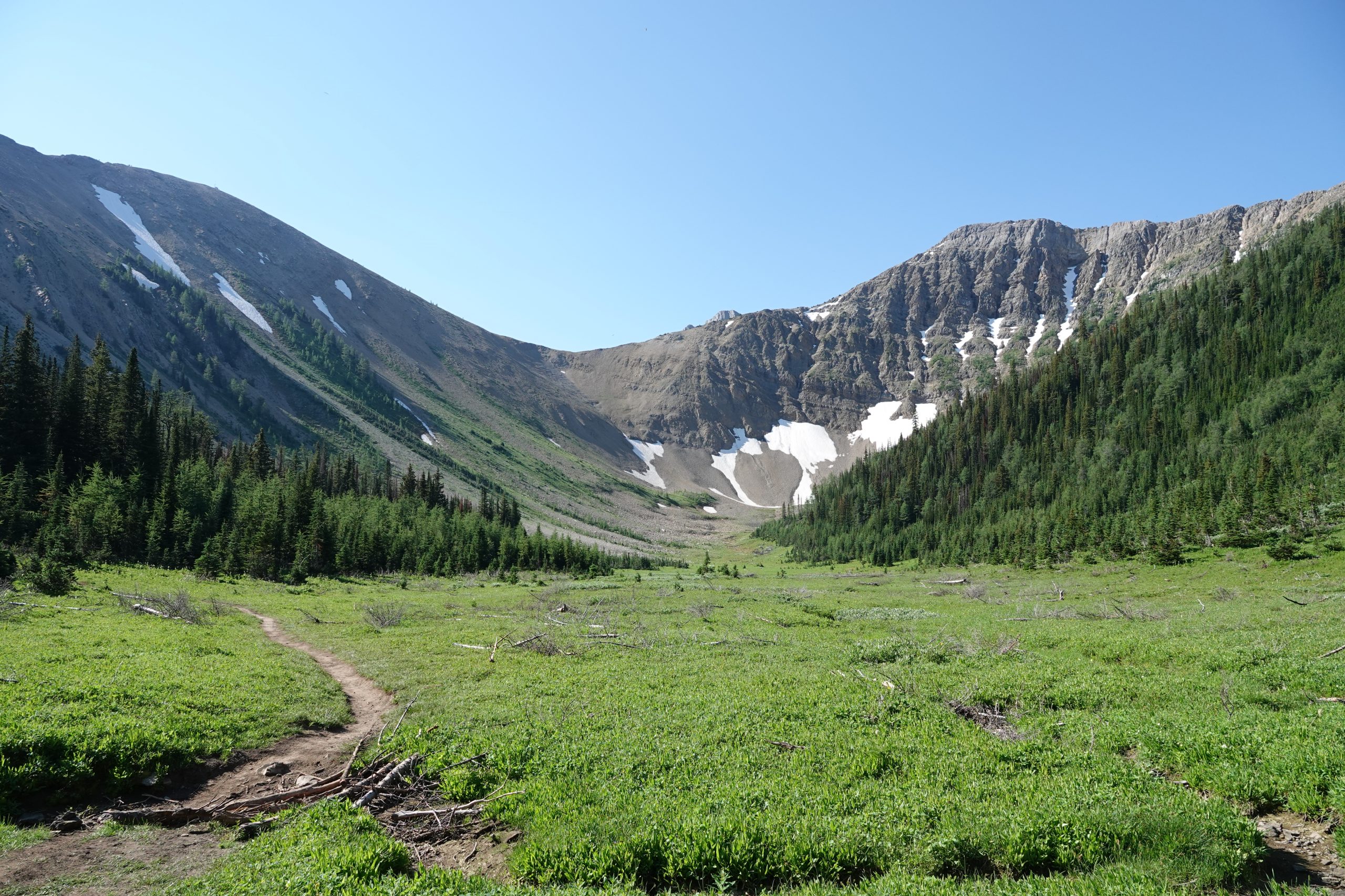
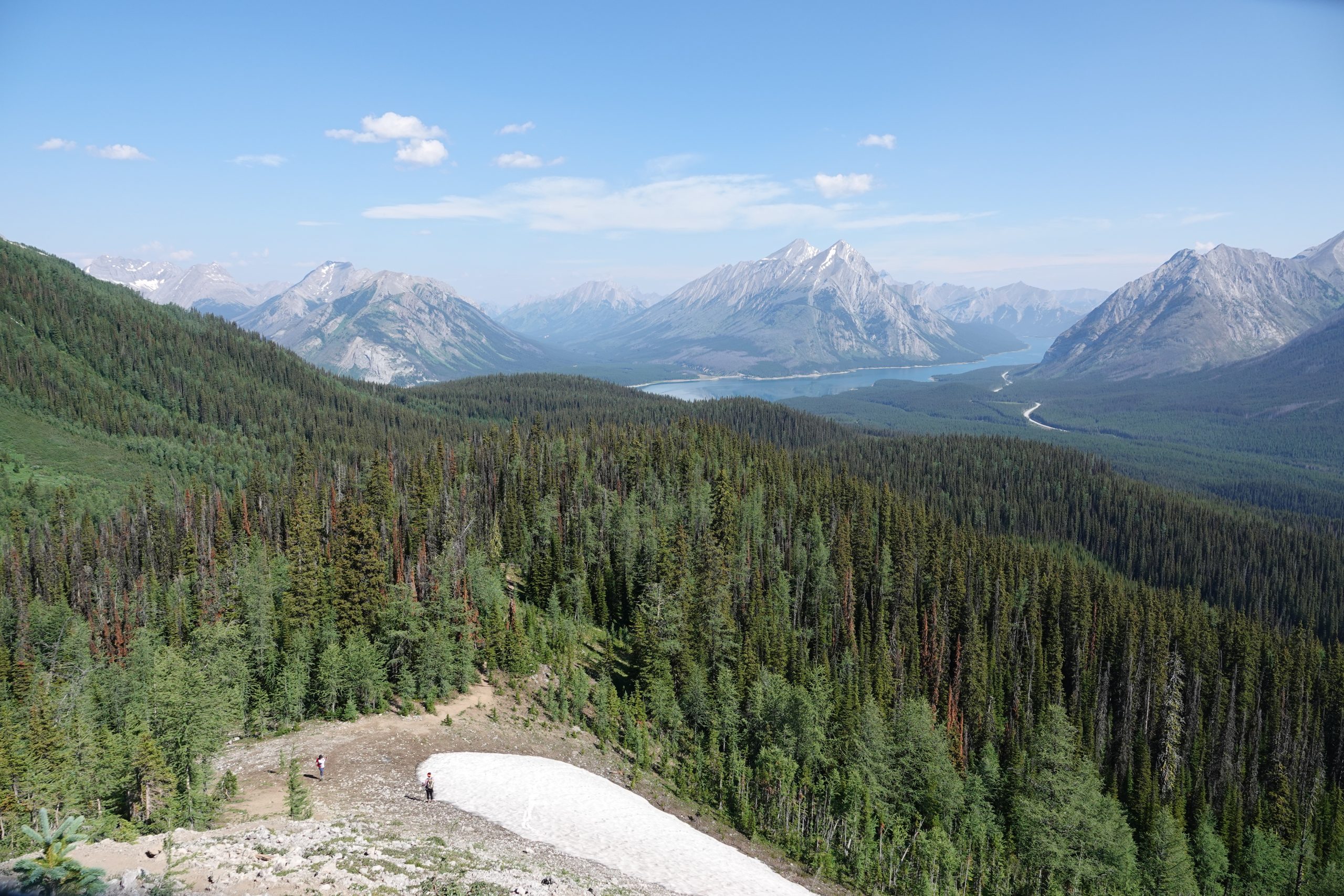
and opens up at the meadow, where you actually can see what you are about to do and have last chance to change your mind:
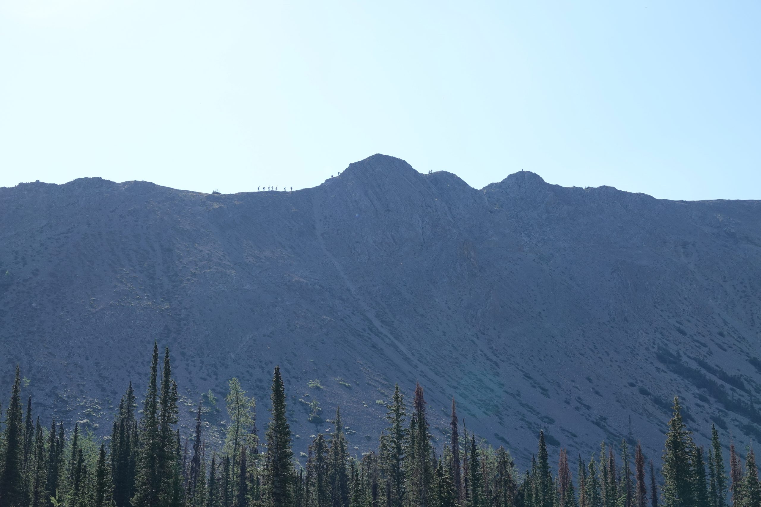
If you don’t, see crazy people on the top? – this is where you will be in a couple of hours:
The trail steadily inclines through the forest. I did not see so many mosquitos in my life, but it’s probably a short-seasonal thing. We never use bug spray because want to smell the forest, not chemicals, and maybe that was the reason why we looked so attractive to little things who gotta eat too, but we also saw lots of Chinese people who sprayed a few cans on each other several times from head to feet but still seemed pretty tasty. Anyway, the trail finally comes out of the woods, and that is where all the fun begins:
When you look up, the scrambling does not seem too scary, but you have no idea that it’s just the beginning. And once you begin the climb, going back is difficult, – that is why people go CCW at the first place. But it starts to pay off with the gorgeous views right away:
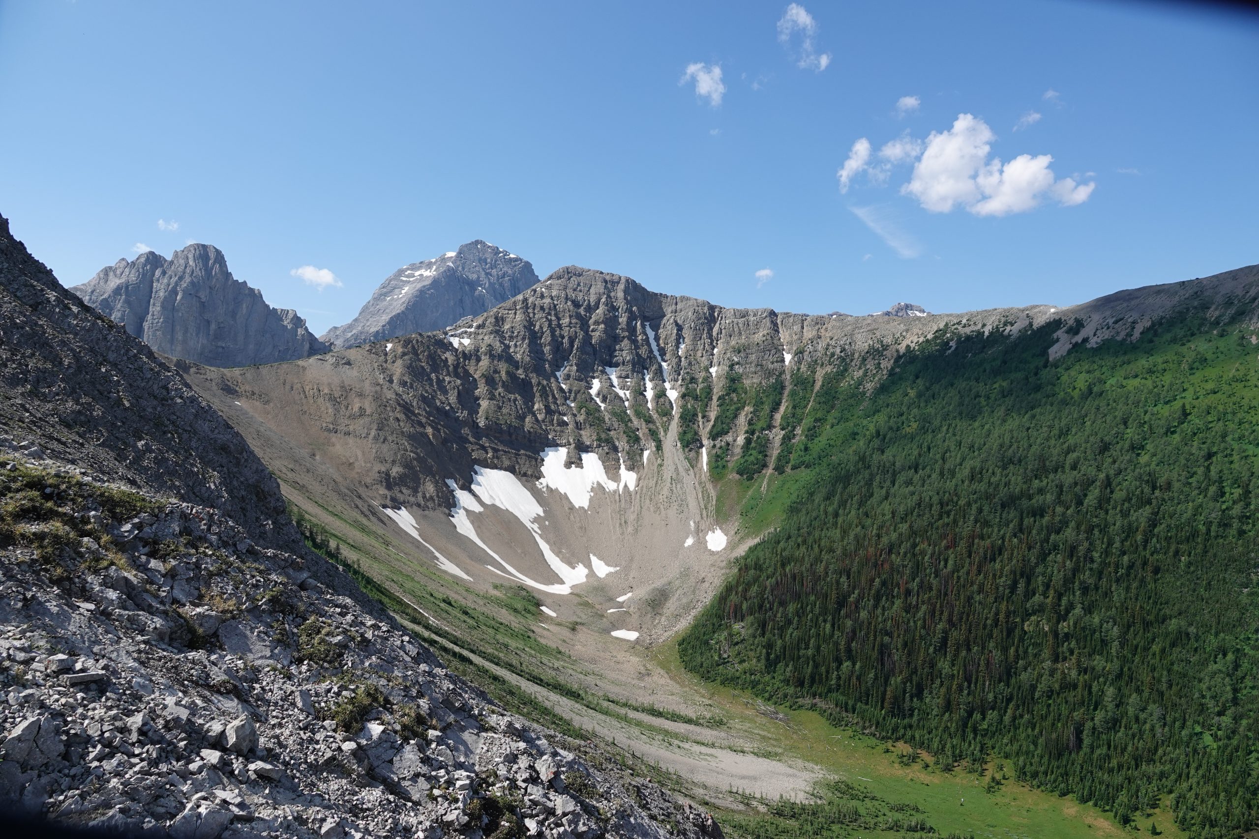
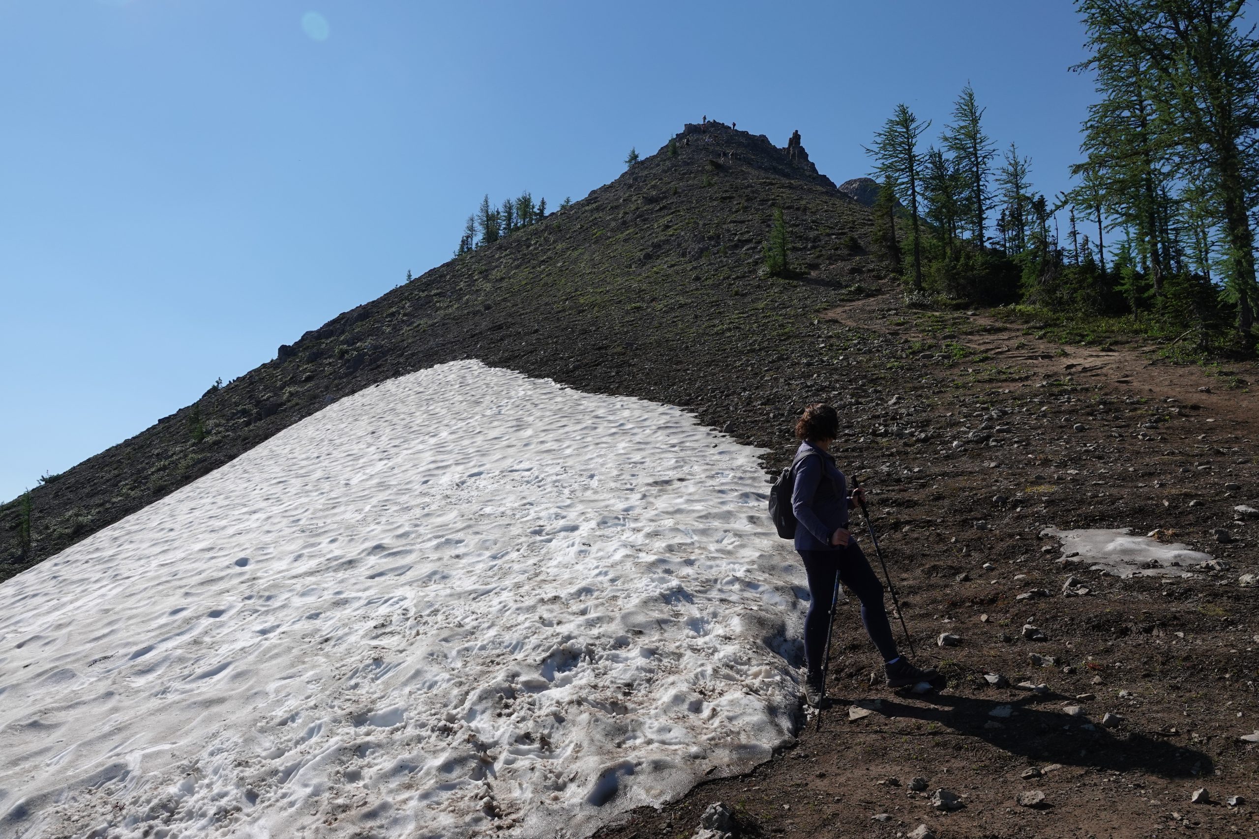
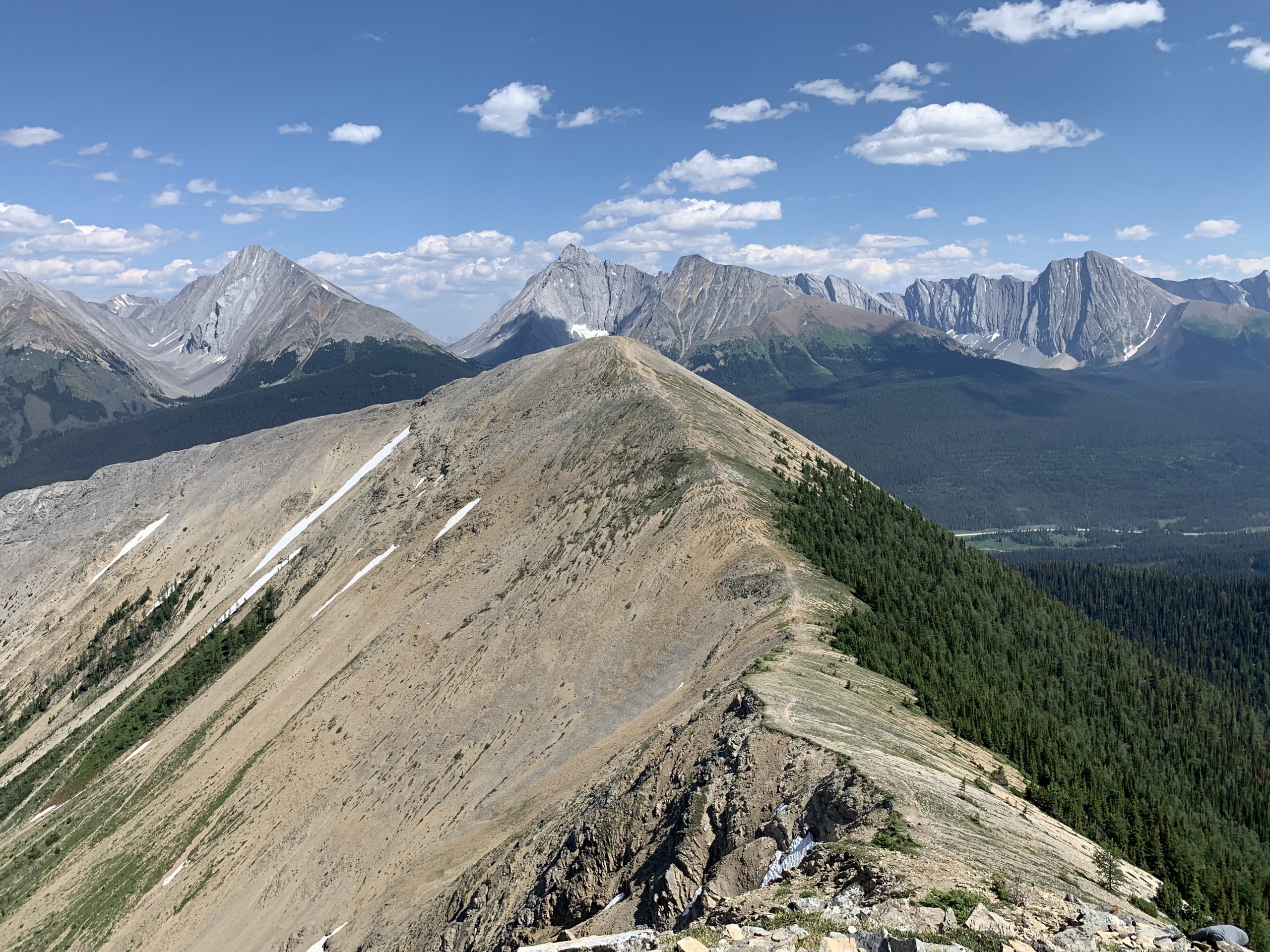
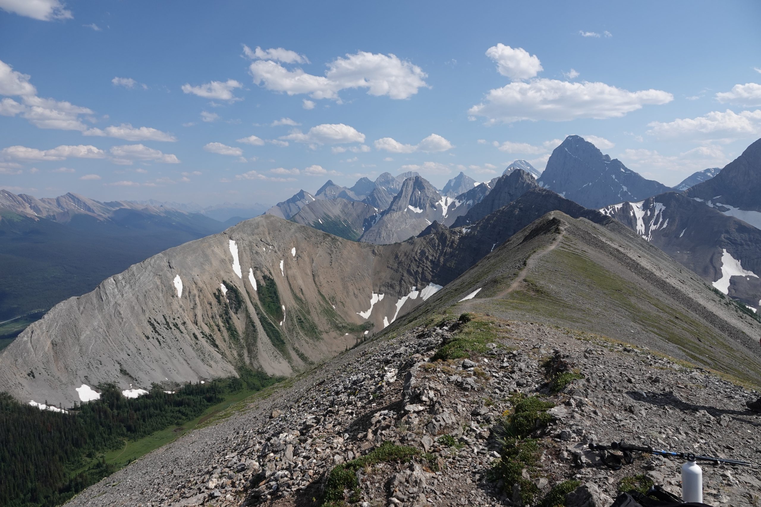
On the ridge, you can have a better look of what you’ve signed for. Once you reach Weather Station, unless you decide to go back (last chance), the Ridge Summit will be your next destination:
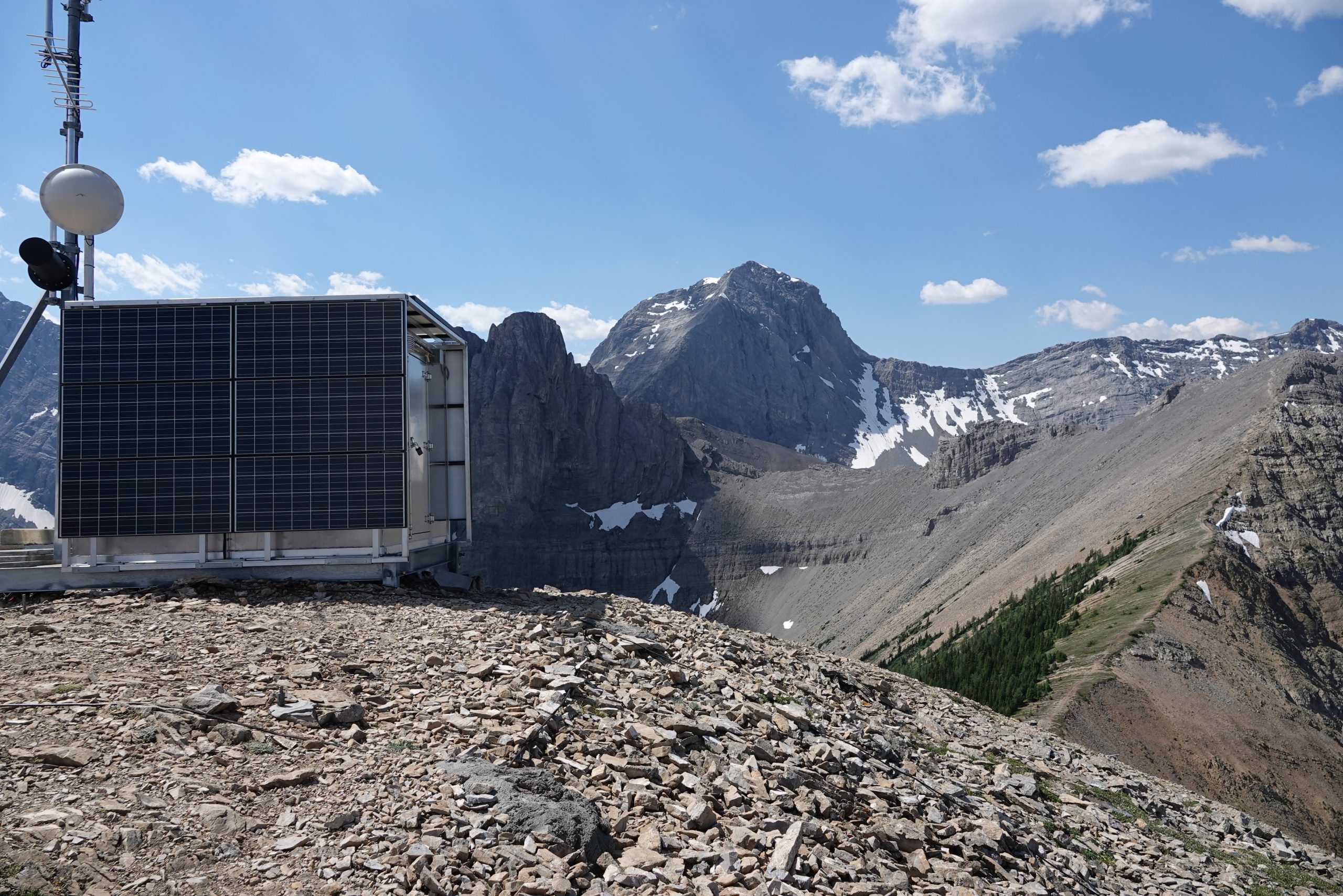
The weather station is on the top of this long scrambling section:
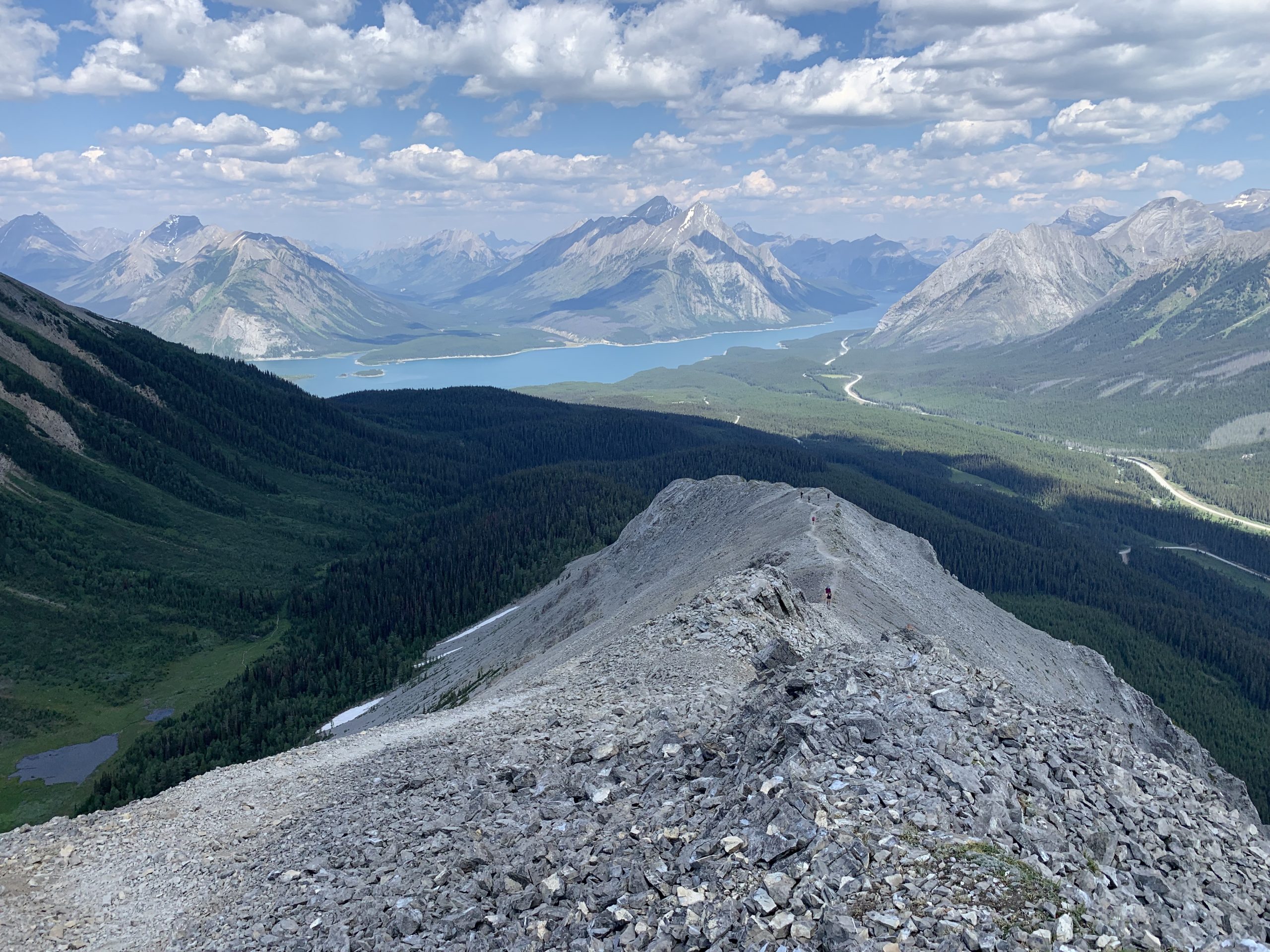
Looking back (see more people coming?)
and finally you are there:
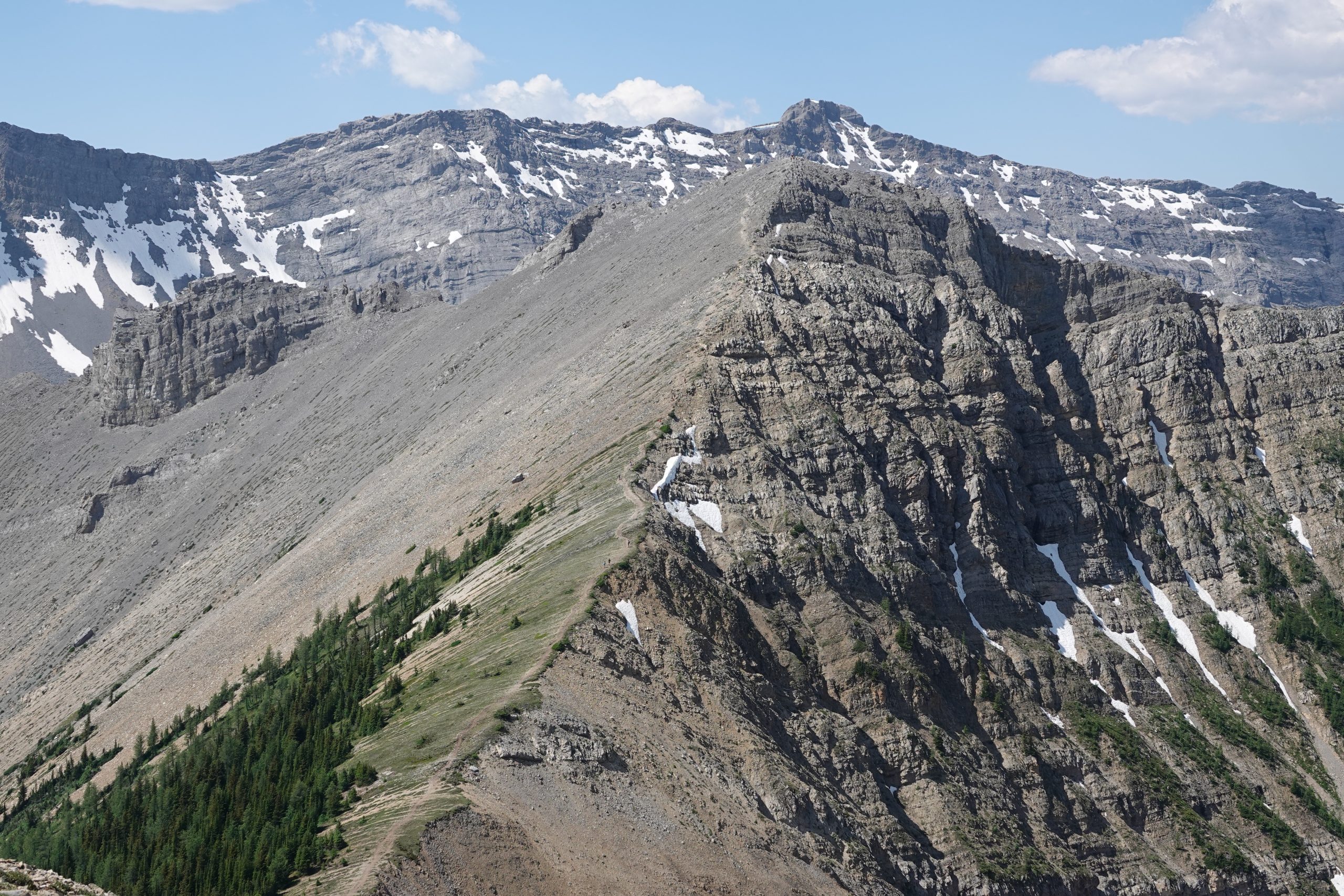
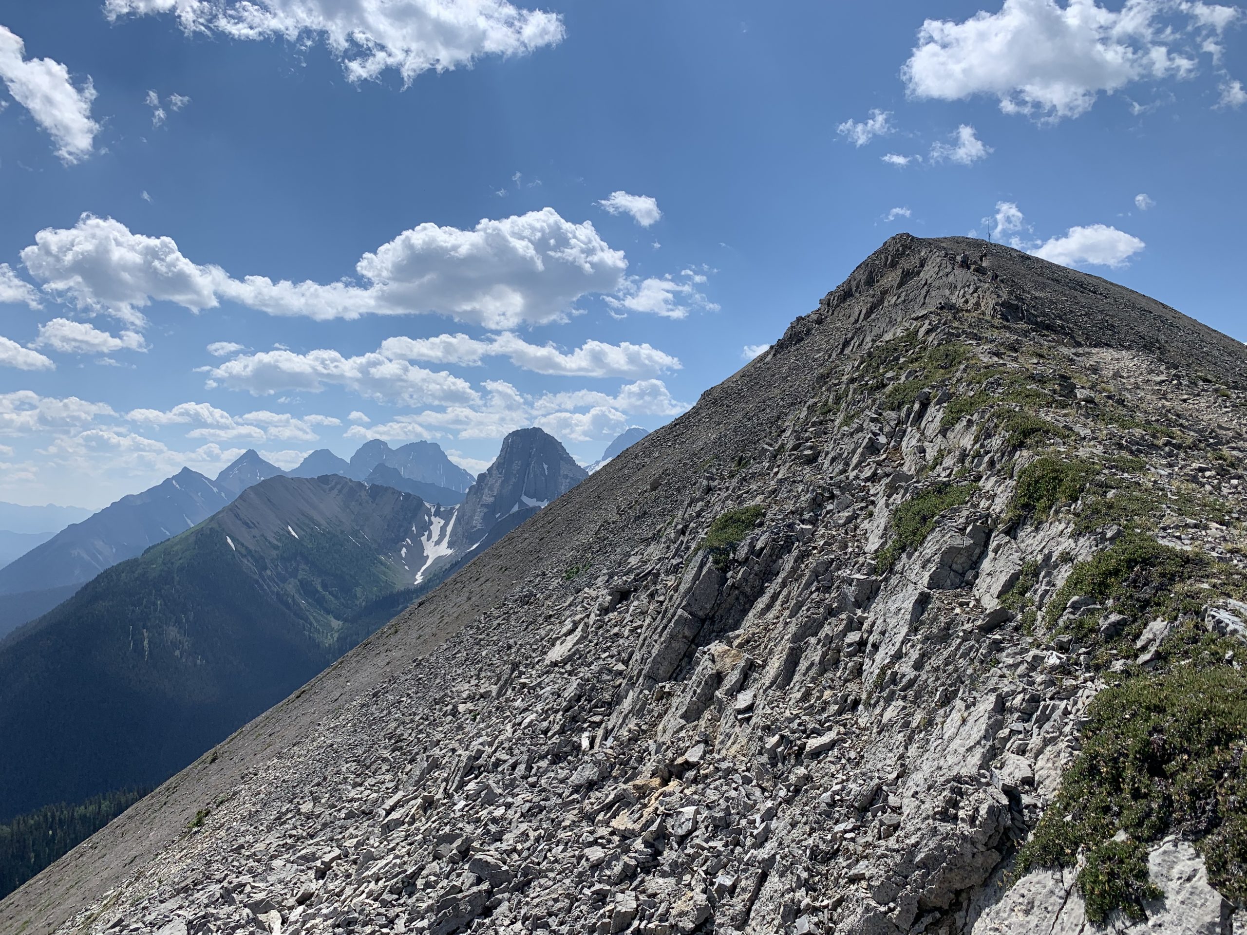
This is how the trail to the Ridge Summit looks like from the Weather Station:
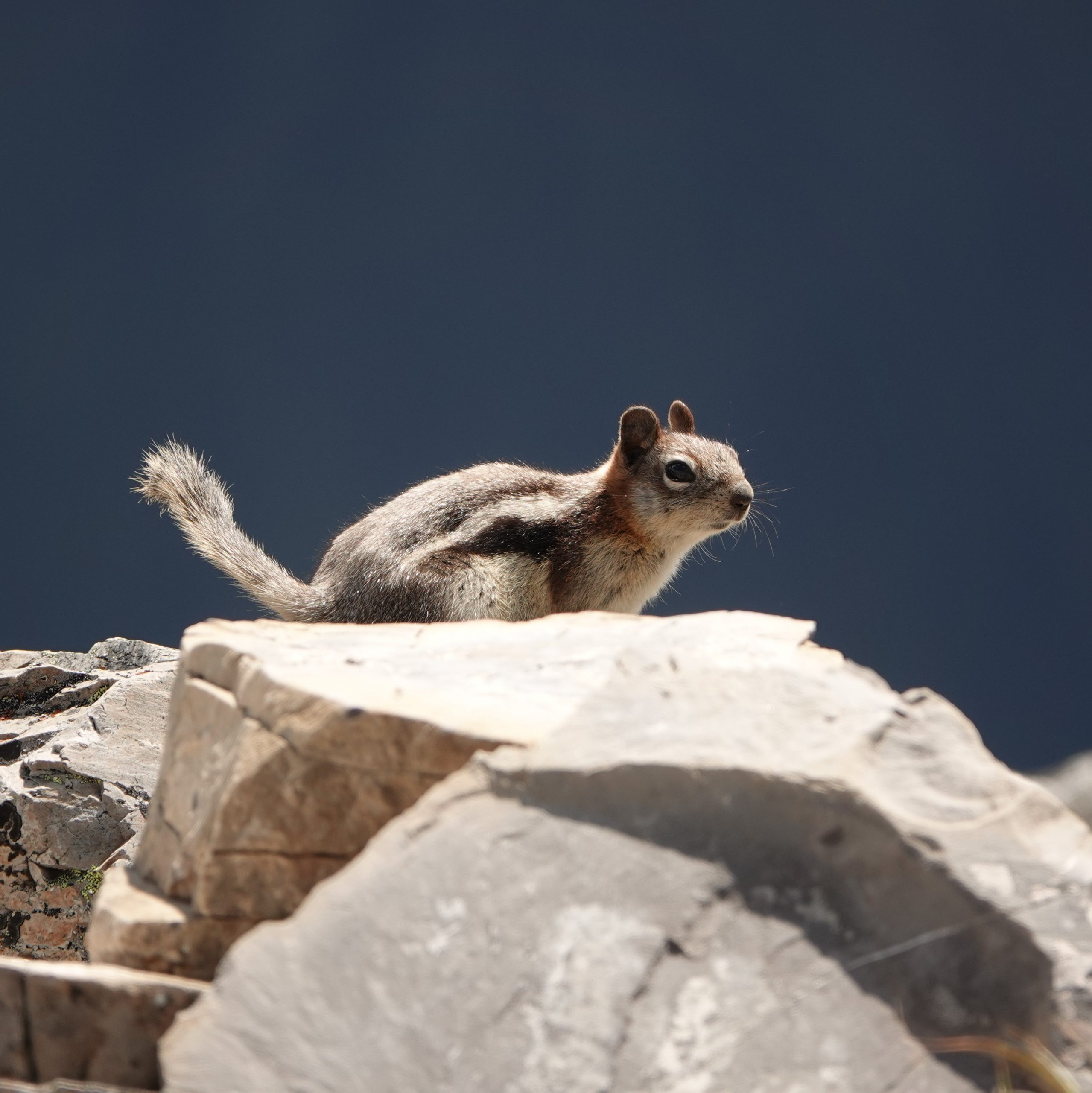
When you catch a breath have lunch at the Weather Station, pay attention to your backpacks – ground squirrels there are very curious.
When we decided on taking this trail, we’ve made one mistake: we had only 1L of water for two of us, and it’s way too not enough. The ridge is very exposed to the sun, and 2L per person or even more would be much better. In our case we were caught on a saddle between two summits
with only like 50 ml of water left, and even going back
would not make much of a difference. Almost without water, we were scrambling up to the summit very slowly, having long breaks after every 10-15 m of elevation gain. Finally we made it to the top
and soon after that we found a snow patch accessible from the trail. We filled our empty bottles with snow and were drinking from them upon melting all the way through the rest of the trail.
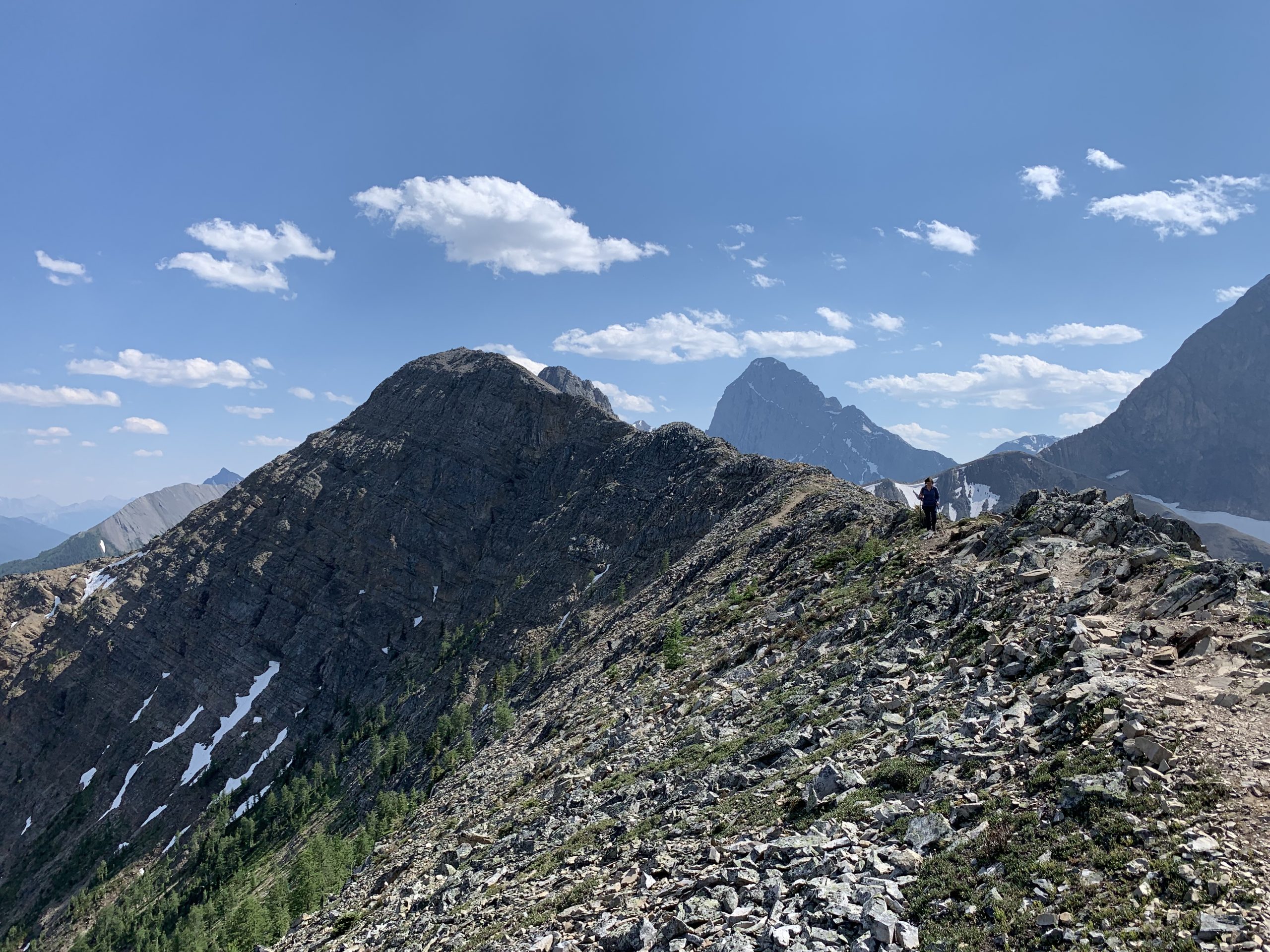
In proximity the ridge does not look very easy, sometimes it’s narrow and scary
but after all it’s doable even by us
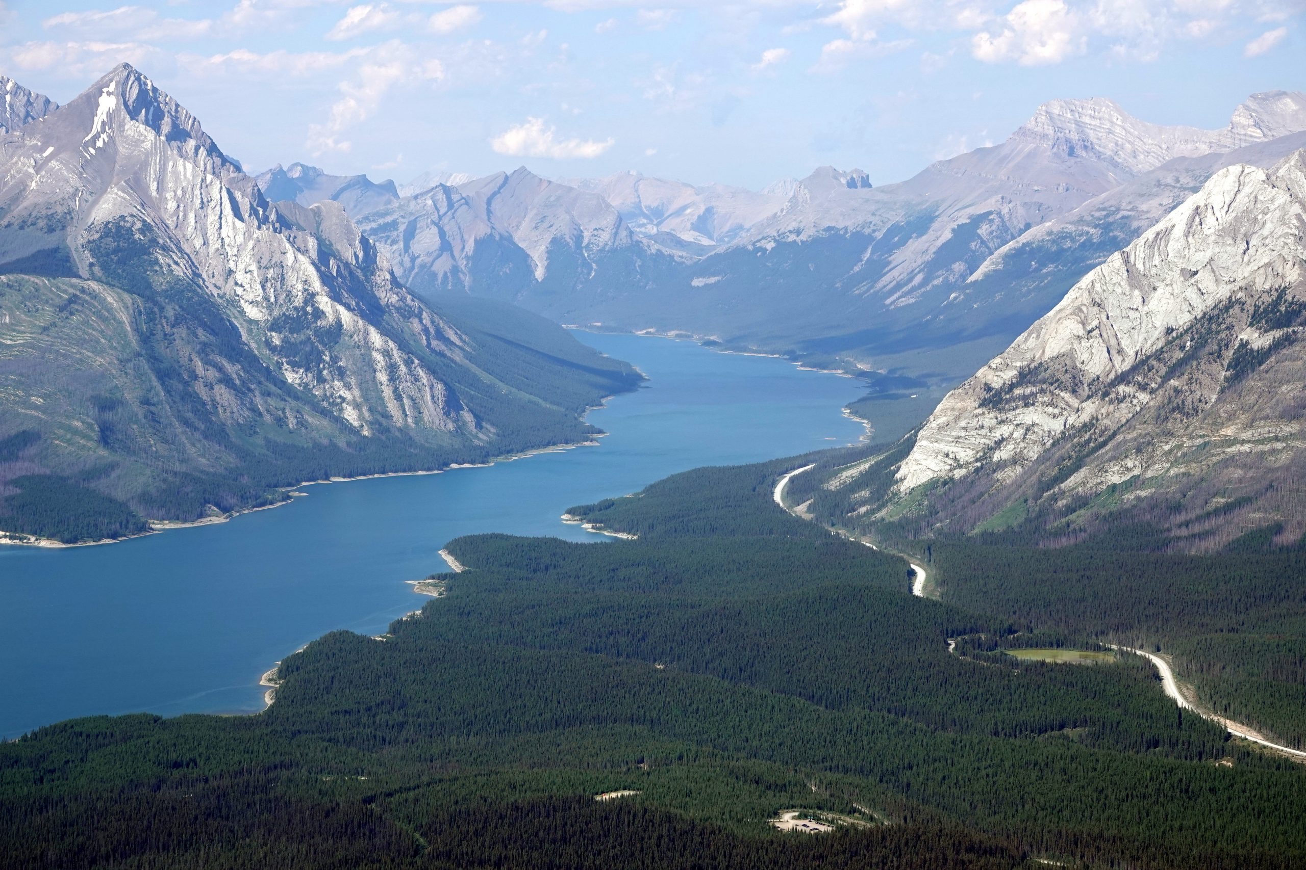
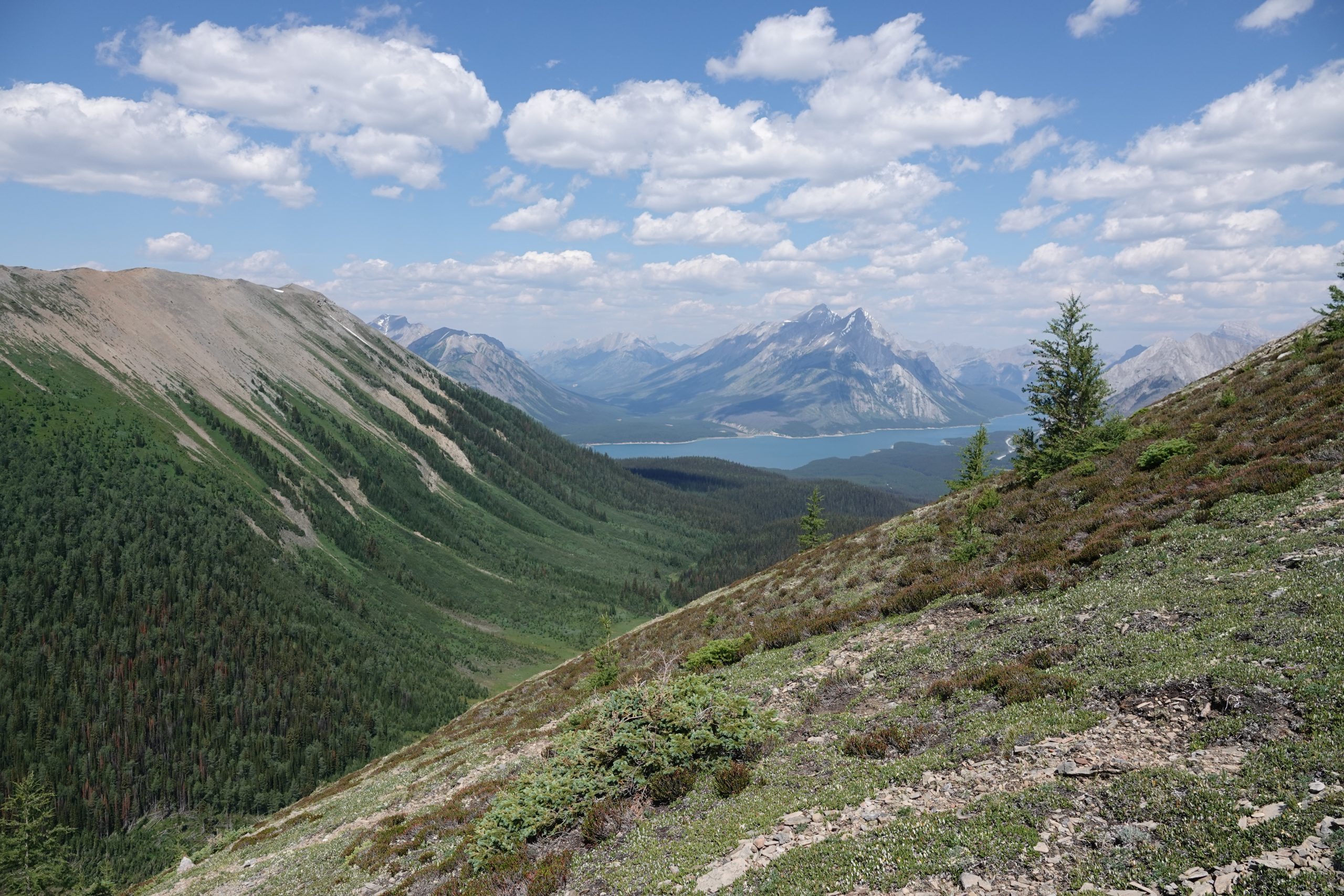
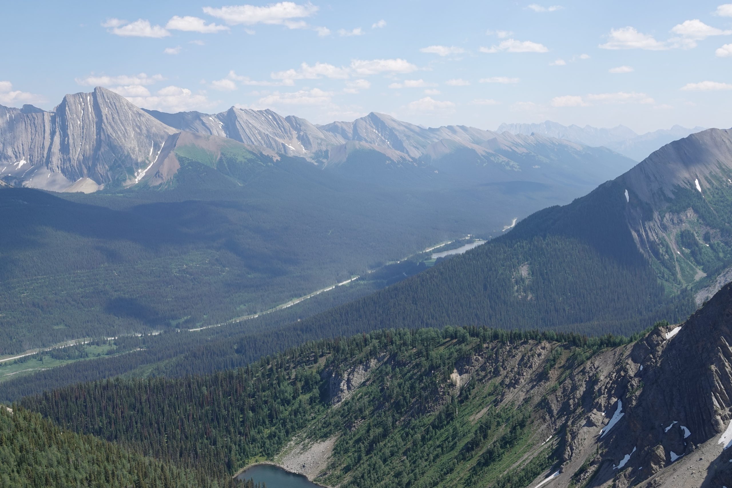
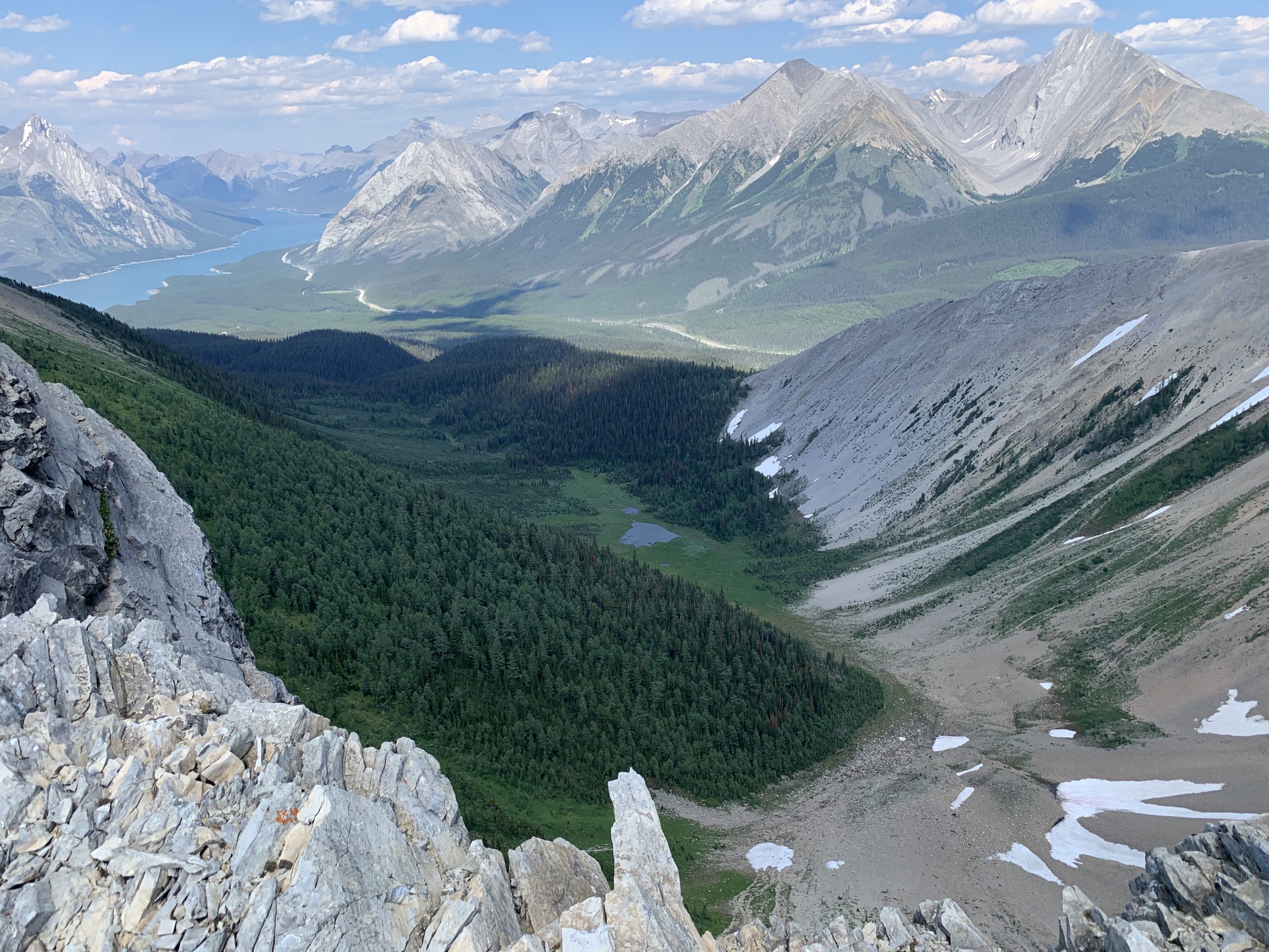
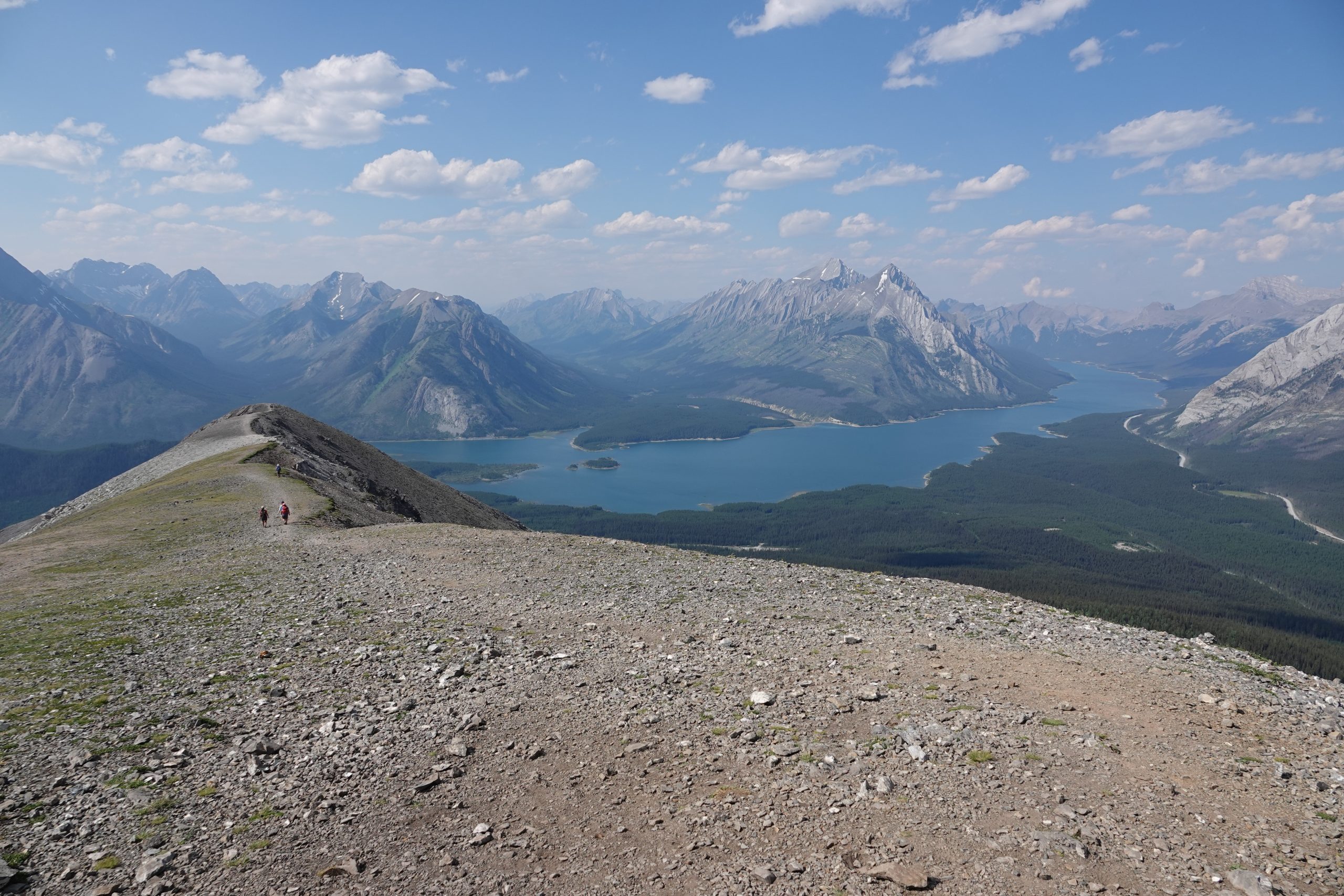
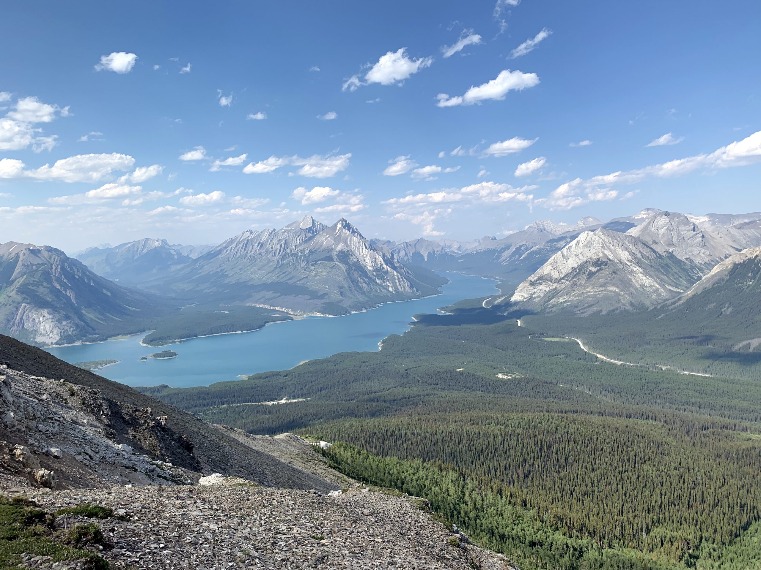
and the views from the ridge are incredible all the way around the Horseshoe:
The decent begins innocently
but the last kilometer is pretty much sloppy scree, and without hiking poles it would be rather challenging to get off that ridge in one piece. Slowly and carefully we did it, but the most annoying part was last 3 km of return to the car through mosquito forest with steady leg-burning decline. We thought it never ends. Because of lack of water, instead of 5 hours our trail took 10, off course we’ve got all sunburn because of unexpectedly long day, but we don’t regret it. After all, the trail is incredible.
More photos here: There are also some labeled pictures with peaks visible from the trail: