Kananaskis (K)
Mount Sarrail

Mount Sarrail

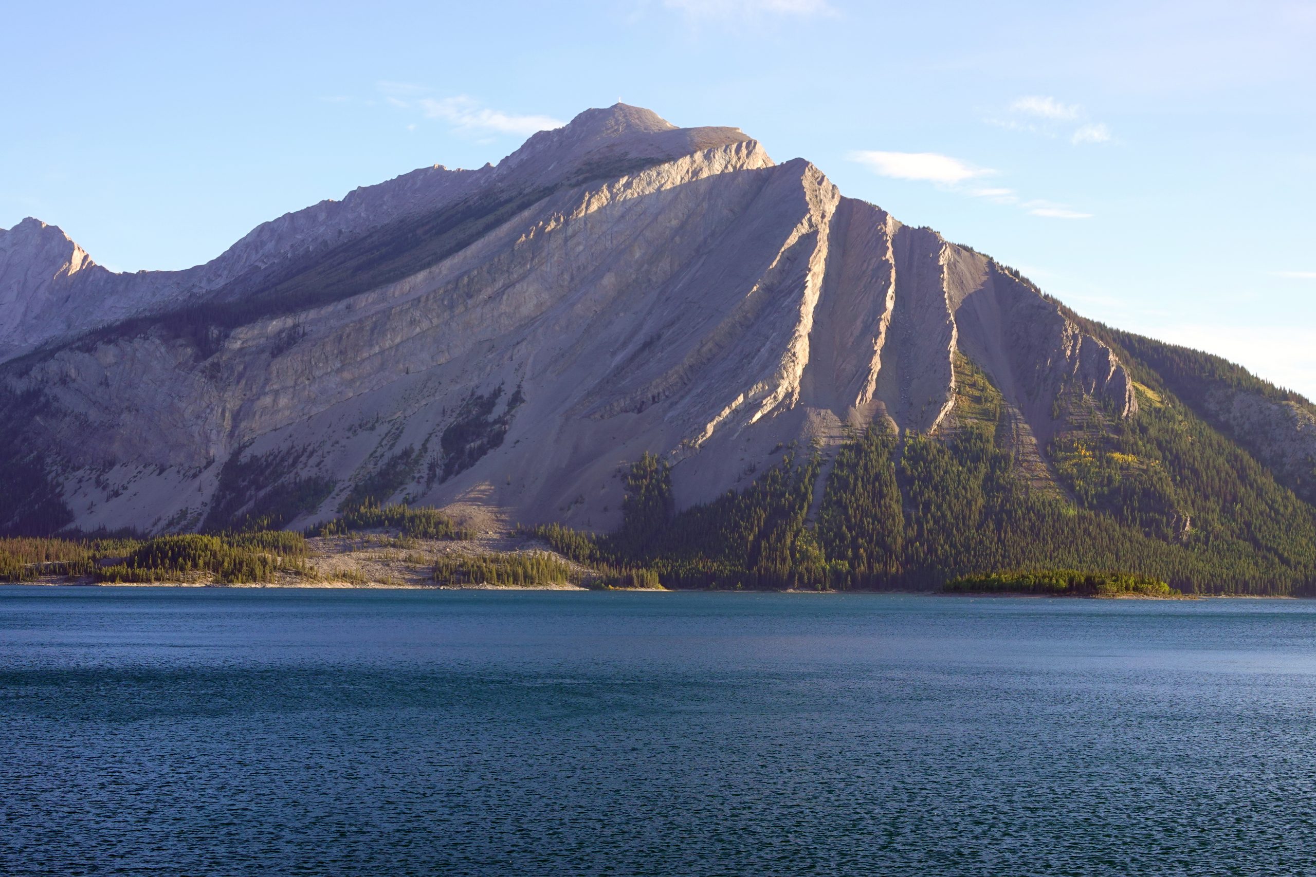
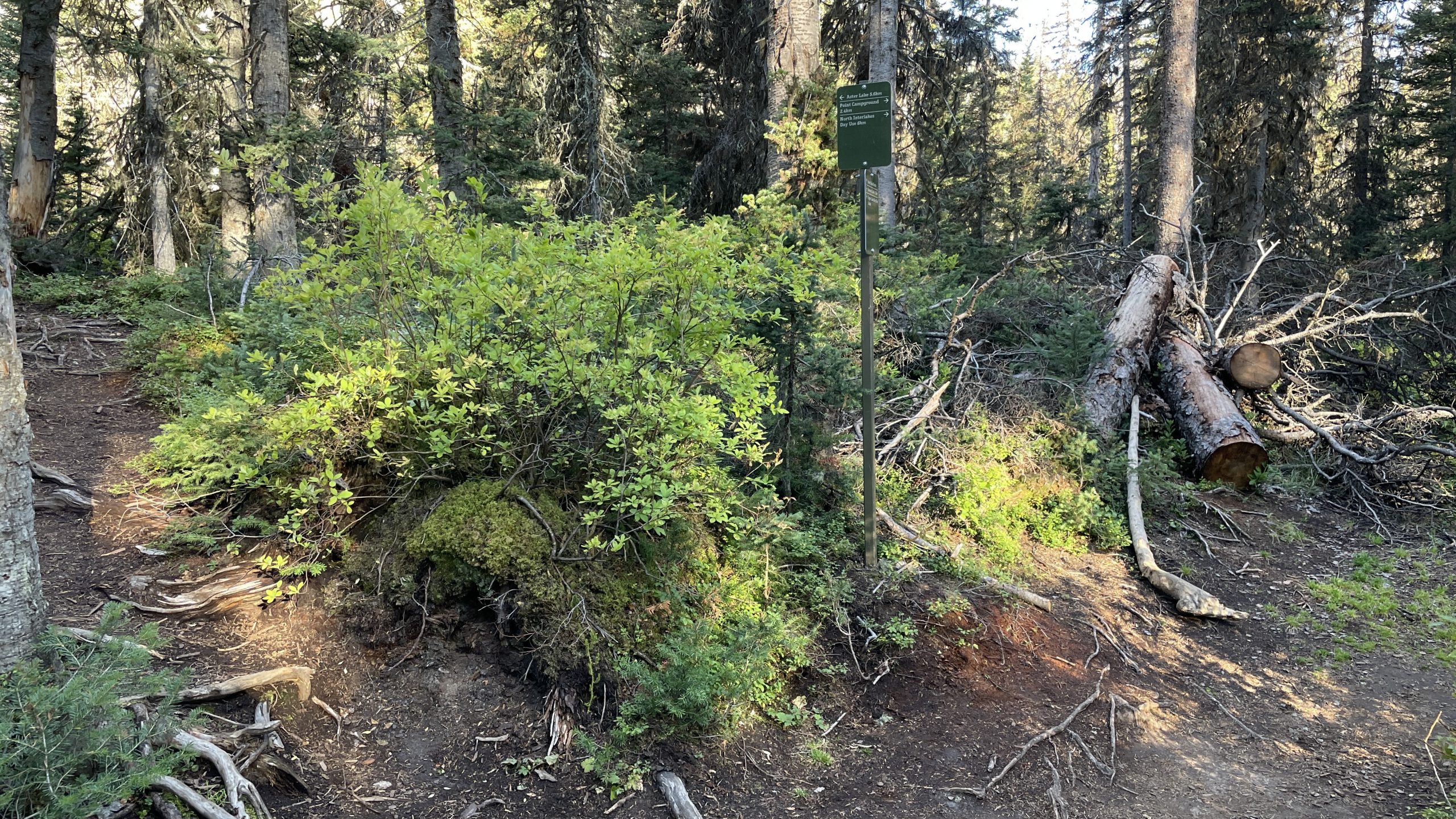
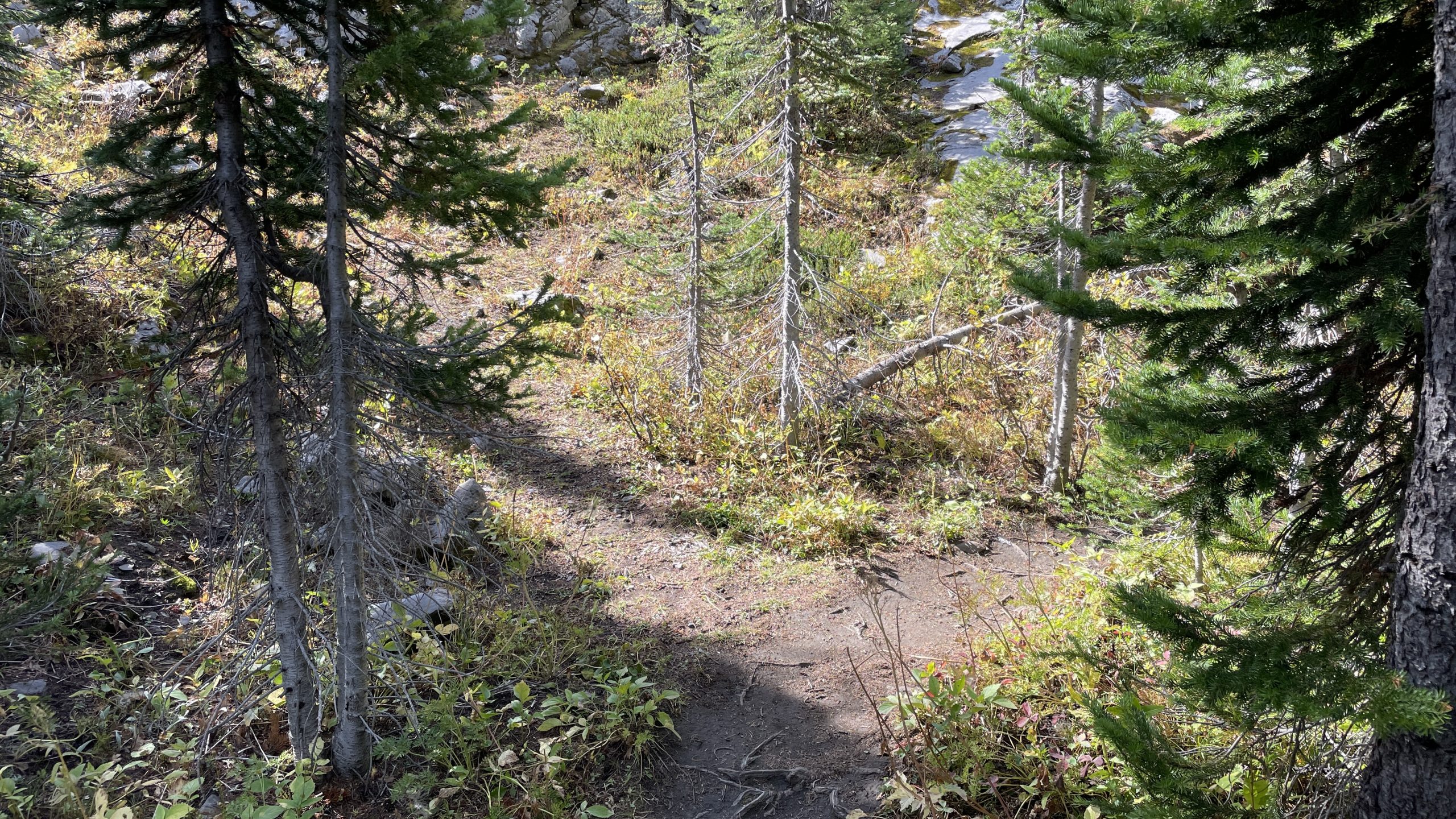
Start early: it’s a long hike. Park at the Upper Kananaskis Lake lot closest to the Rawson Lake. First 9 kilometers along the shore of Upper Kananaskis Lake and then after left turn on the fork to Aster Lake through the forest next to Hidden Lake are plain and easy.

Mount Indefatigable from Upper Kananskis Lake shore close to Rawson Lake trail
Fork from Upper Kananaskis Lake (to the right) to Aster Lake Trail (to the left)
Trail to Aster Lake goes around Hidden Lake to the col between Mounts Sarrail and Lyautey

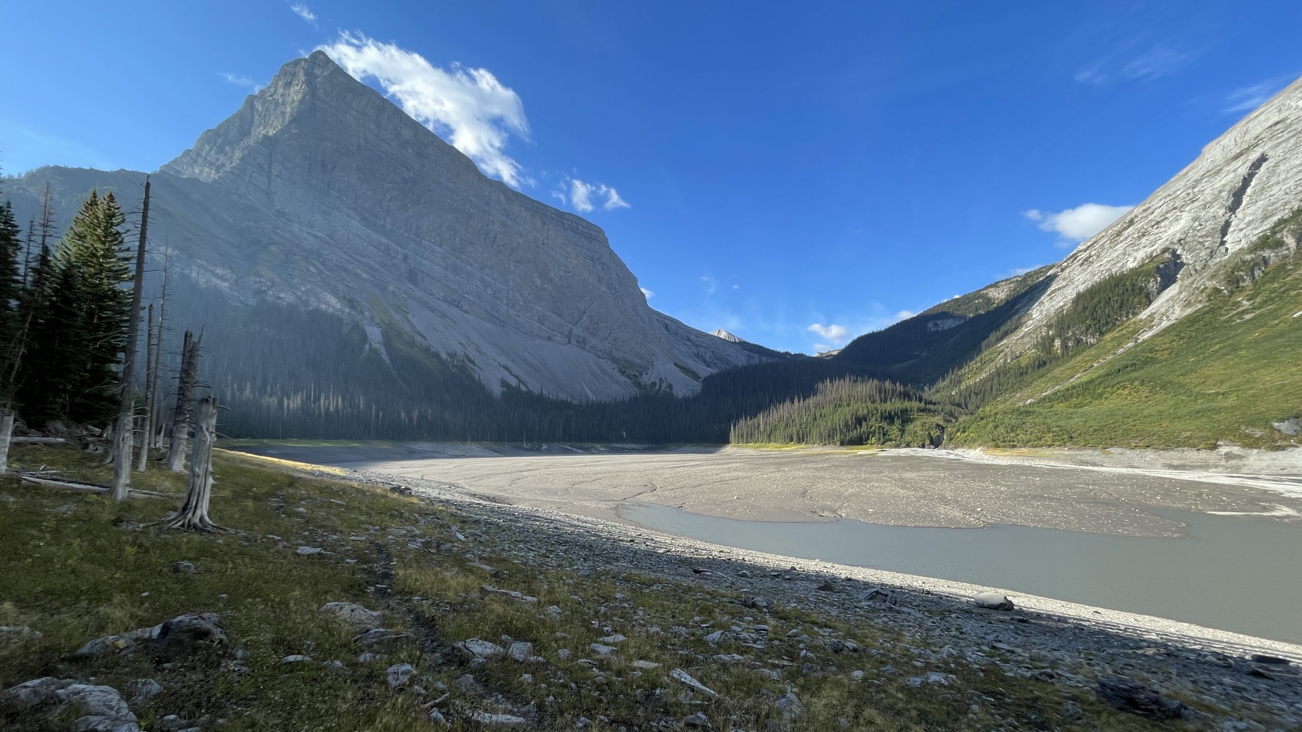
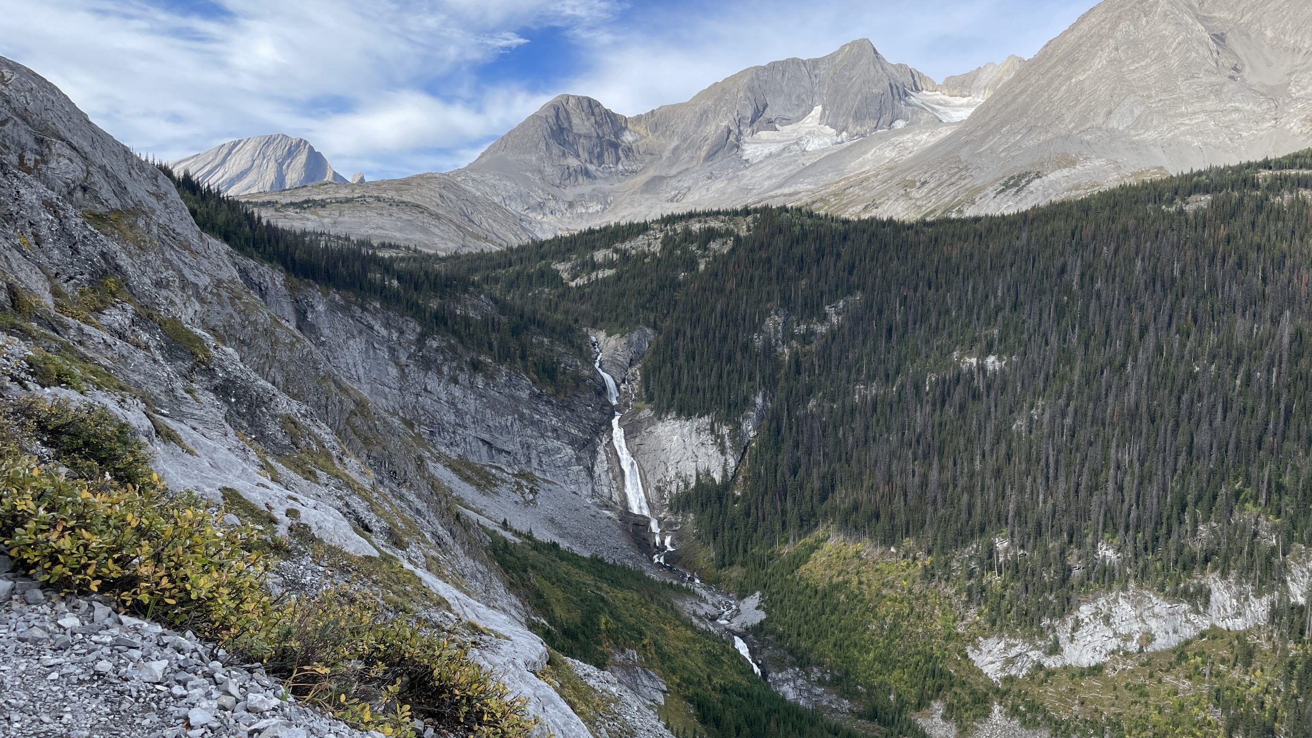
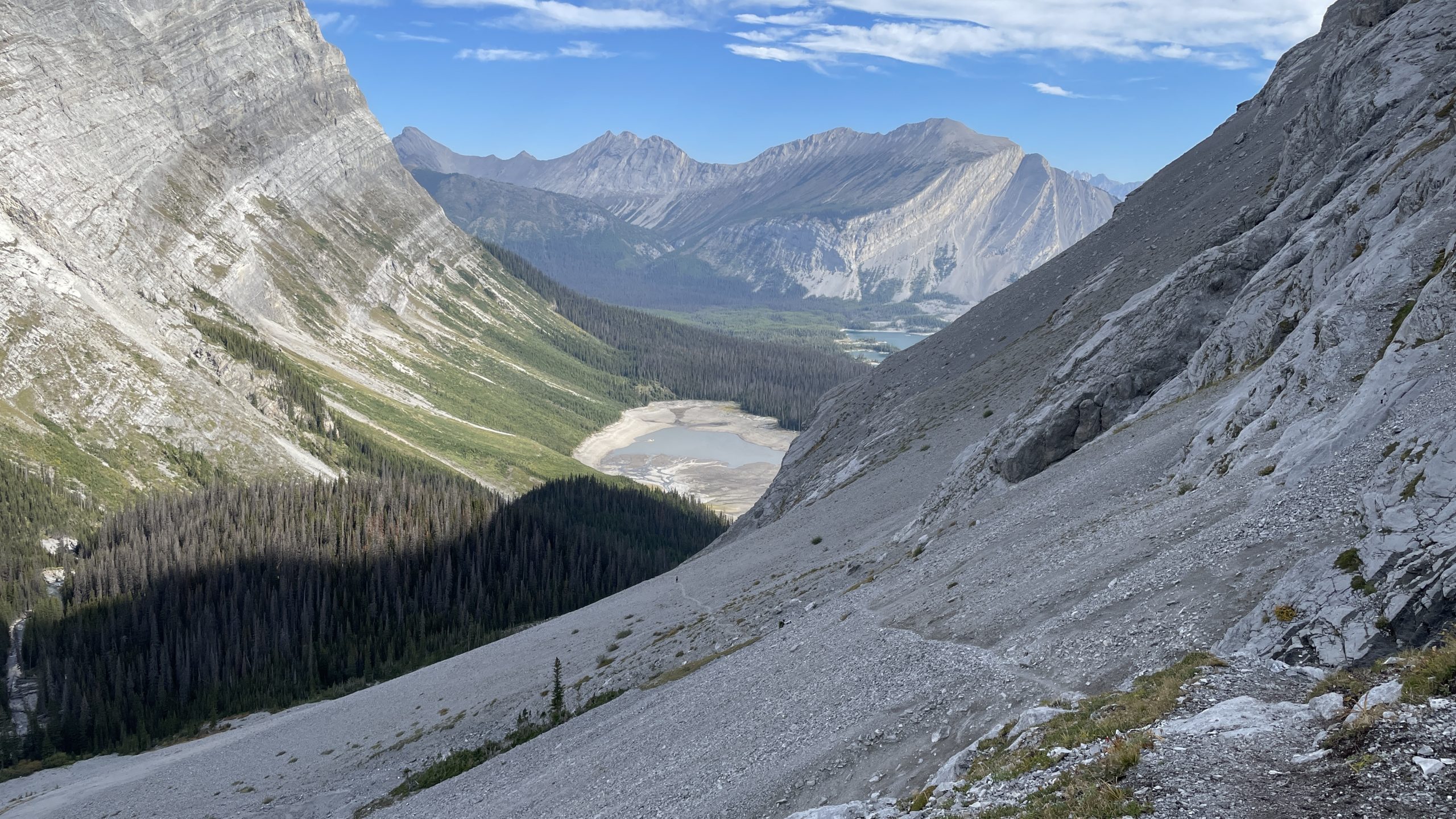
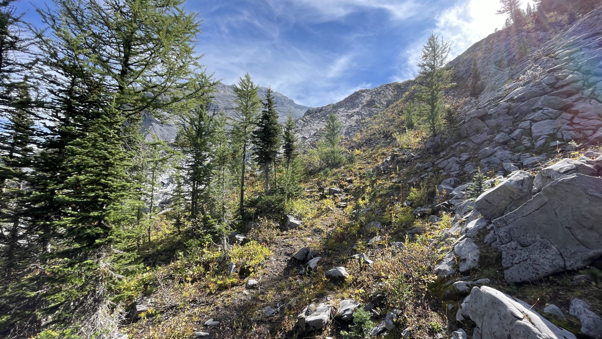
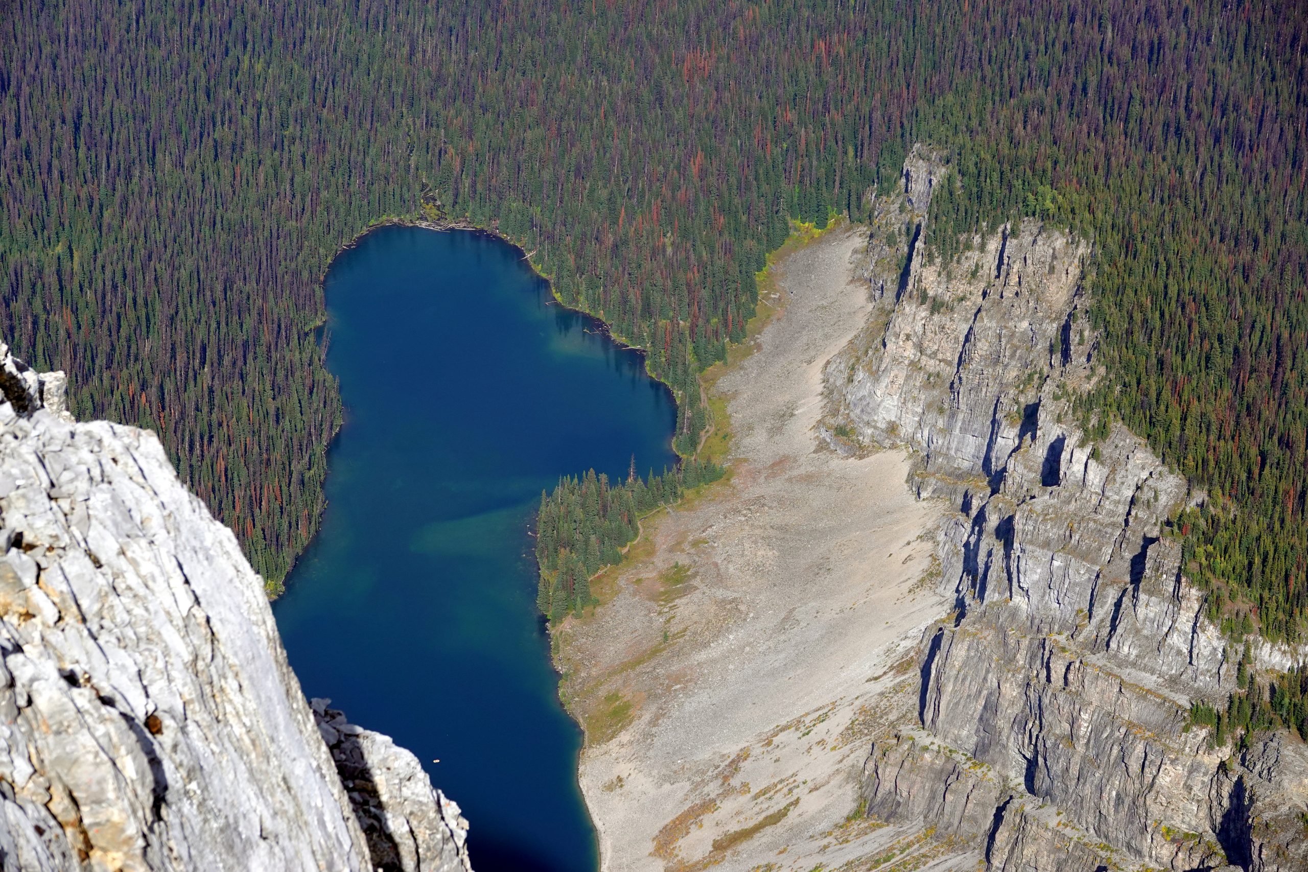
After the tree line an established and scenic path ascends through a couple of boulder fields.

Fossil Falls from Aster Lake ascent route
Looking back from Aster Lake ascent route, Hidden and Upper Kananaskis Lakes are still visible
Mount Sarrail outlier as seen from Aster Lake ascent route
9.87 km from Rawson Lake parking lot - Aster Lake to the right, Mount Sarrail to the left
9.87 km from Rawson Lake parking lot – Aster Lake to the right, Mount Sarrail to the left

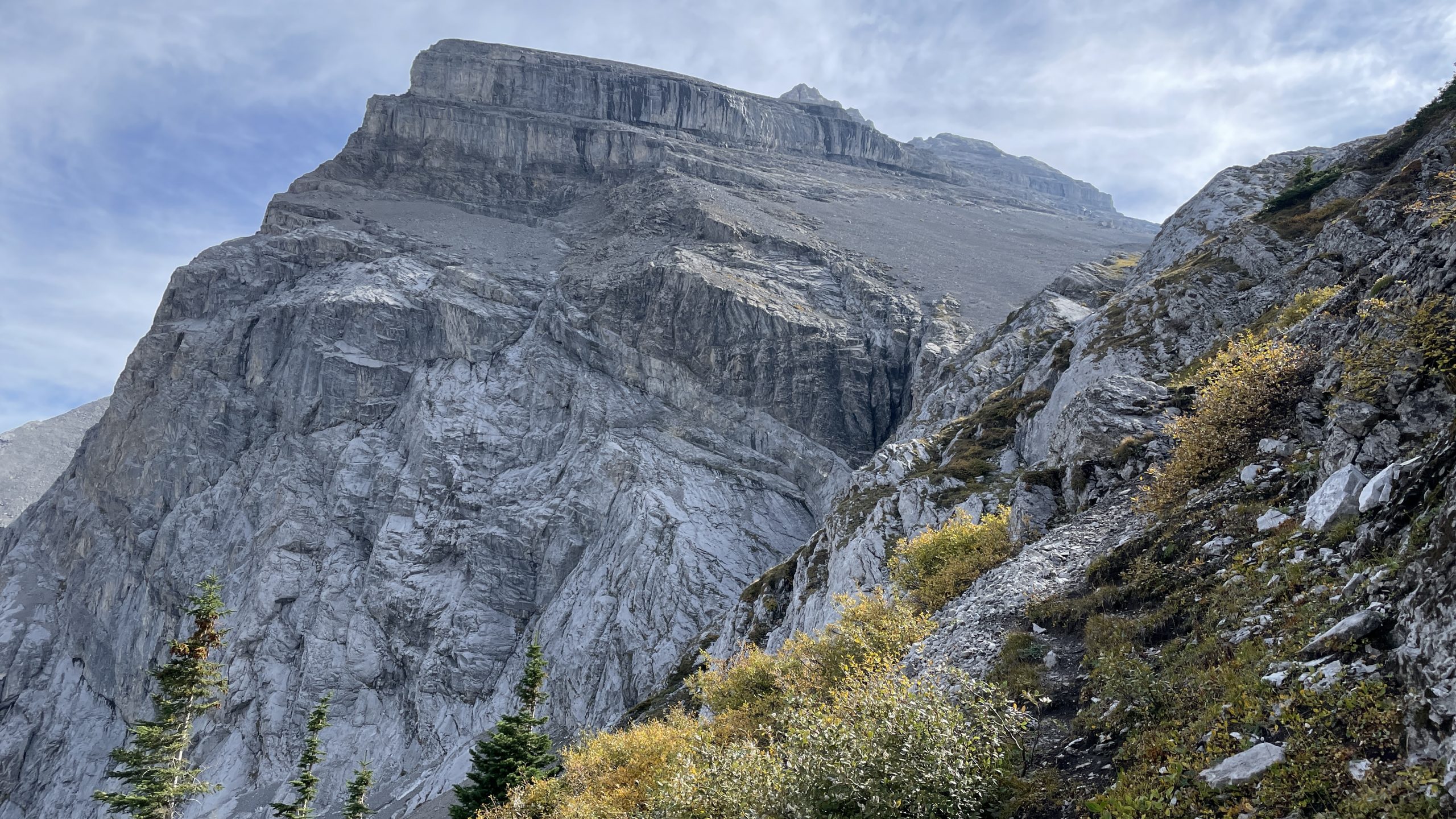
And this is where all the fun begins.

Ascent straight to Mount Sarrail begins

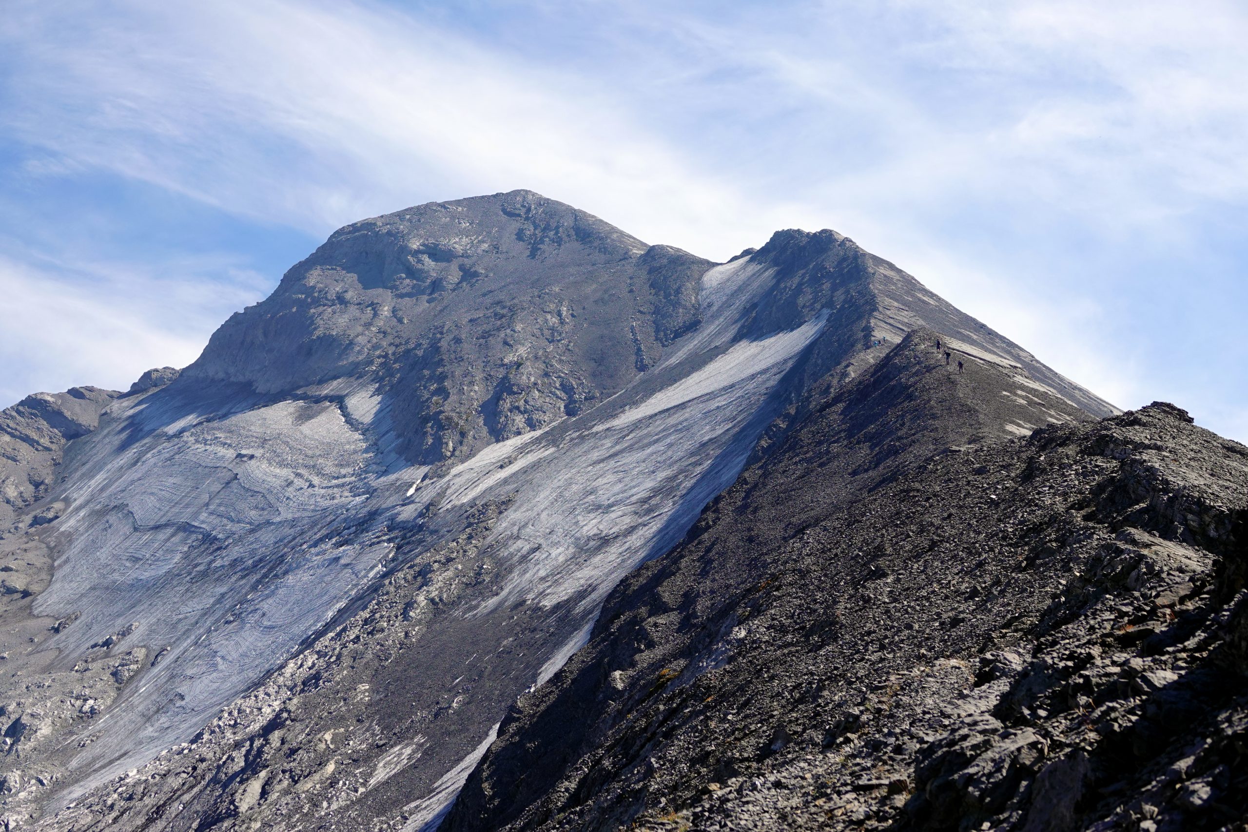
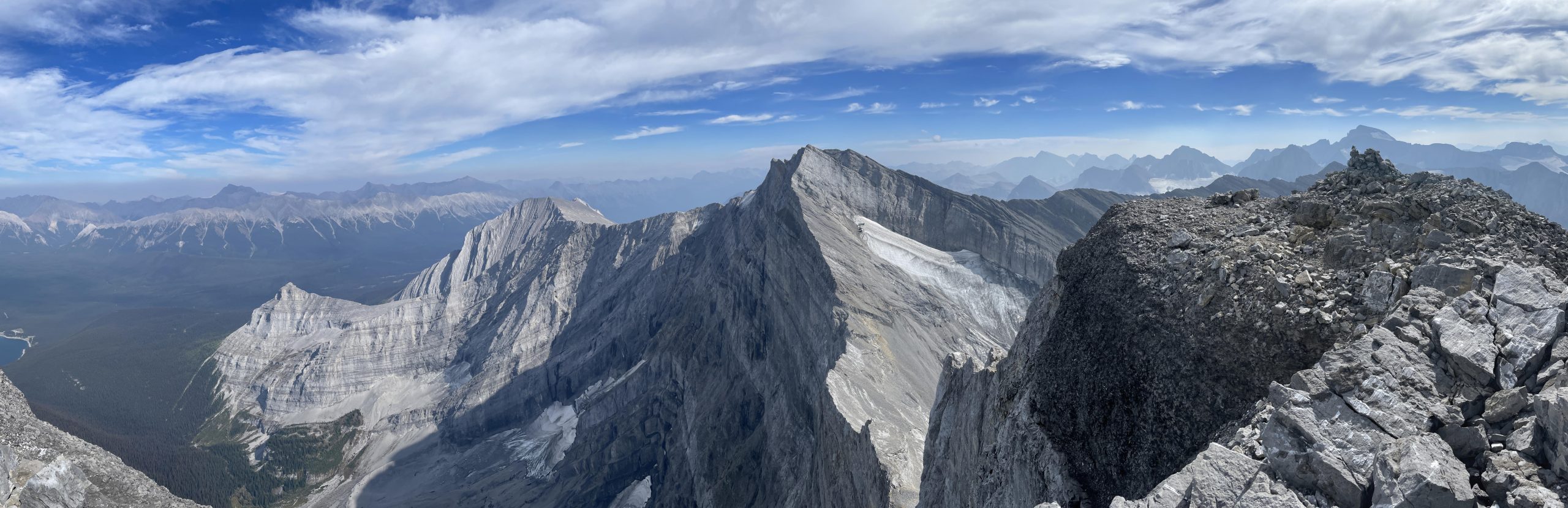
The ridge goes on, and on, and on. Not many cairns on the way, but it’s pretty obvious where to go: just up, up, up, and the summit is always in sight. For a change, there are no false peaks. Usually the slope on climber’s left is covered in snow and with crampons can be carefully hiked to the top, but this summer was hot and all snow is gone. It’s very tempting to avoid scrambling sections on the narrow ridge by walking around it on the left side, but soil there is wet because of melting ice and snow, and you constantly can hear rocks tearing off, falling and rolling down, accelerating and jumping higher and higher, even without any action from you. With exposure on the left side, walking as closer to the top of the ridge as possible, and careful (easy) scrambling down a couple of bumps, is less scary and safer. Some people like adrenaline rush, but not me.

Ridge ascent to Mt Sarrail
Rawson Lake from Mt Sarrail summit
Right to left: Sarrail summit, Mt.Foch, The Turret and Mt. Fox between them behind the ridge

Blogs with more information:
Vern Dewit
Bob Spirko

My GPS track here:

More photos from Mount Sarrail hike here.

Leave a Reply

Your email address will not be published. Required fields are marked *